Drone Services
Drone Agronomy & Precision Agriculture
CASA-certified drone agronomy services for crop monitoring, aerial surveys, and precision land assessment across Victoria and New South Wales.
About Our Drone Agronomy Services
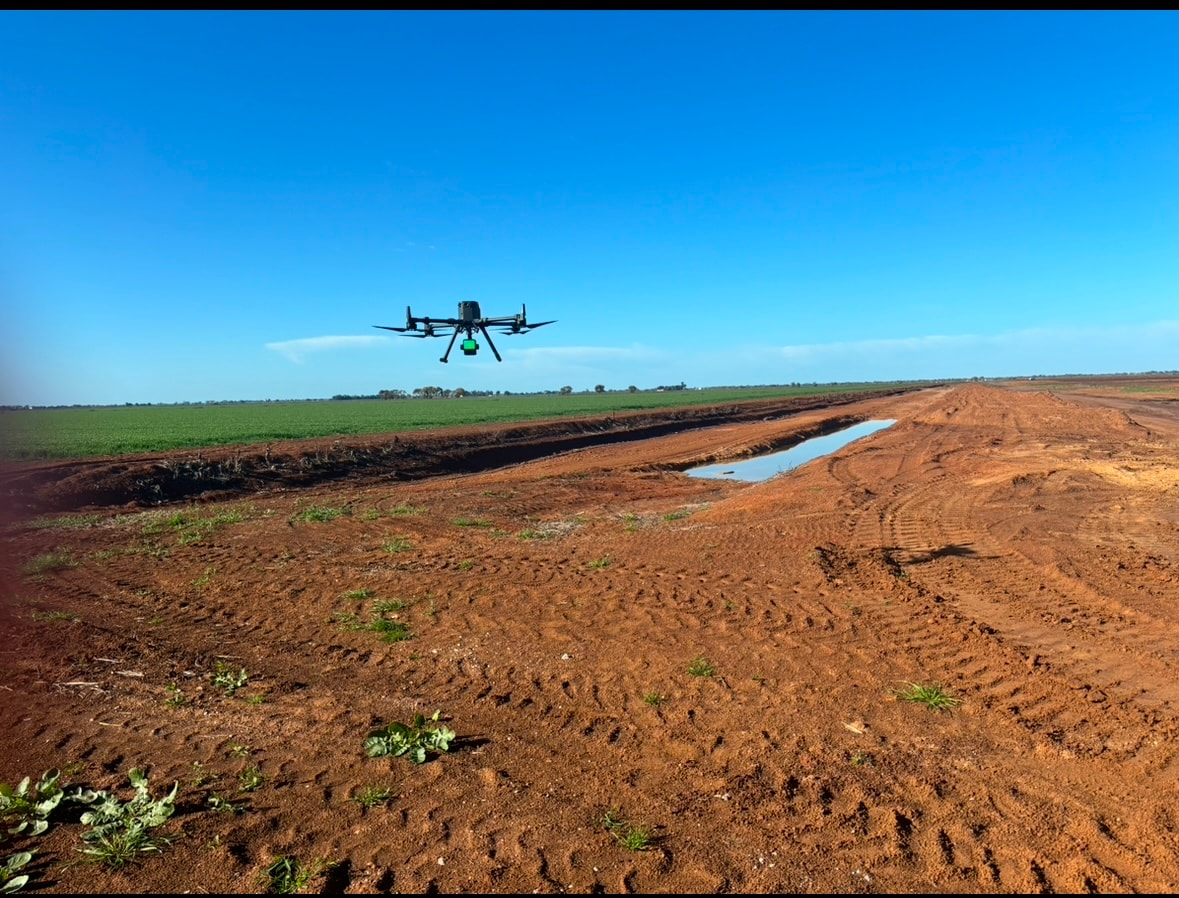
MEB offers advanced drone agronomy services for precision agriculture, crop monitoring, and land assessment across Victoria and New South Wales. Our CASA-certified drone operators use the latest multispectral and RGB imaging technology to deliver actionable insights for farm management.
Drone-based NDVI mapping provides detailed crop health analysis, identifying areas of stress, disease, or nutrient deficiency before they become visible to the naked eye. Early detection allows targeted intervention, reducing input costs and improving yield outcomes.
Aerial topographic surveys and orthomosaic mapping provide accurate, high-resolution terrain models for irrigation design, drainage planning, and earthworks volume calculations. Our survey-grade GPS ensures centimetre-level accuracy for engineering applications.
Our Capabilities
- Crop Monitoring & NDVI Mapping
- Aerial Topographic Surveys
- Land Assessment & Planning
- Precision Spray Applications
- Orthomosaic Mapping
- Irrigation & Drainage Analysis
Photo Gallery
Drone Agronomy in Action
Click any photo to view full screen.
Ready to Get Started?
Contact MEB today for a free quote on drone agronomy services across Victoria and NSW.